Sunday, March 18, 2018

Seminole Canyon, An American Gem

Stories in stone. Early canyon dwellers left clues to their lives on the stone walls of Seminole Canyon. It is a rugged terrain with hiking, biking and caves to explore. The largest of the caves, Fate Bell Shelter is only accessible on guided tours twice a day with the Park Rangers. 

It is estimated the humans began to inhabit the area about 10,000 years ago. It was the Holocene era when Mammoth animals would have also inhabited the area. The vegetation was denser and a richer variety to support  the life of the area.
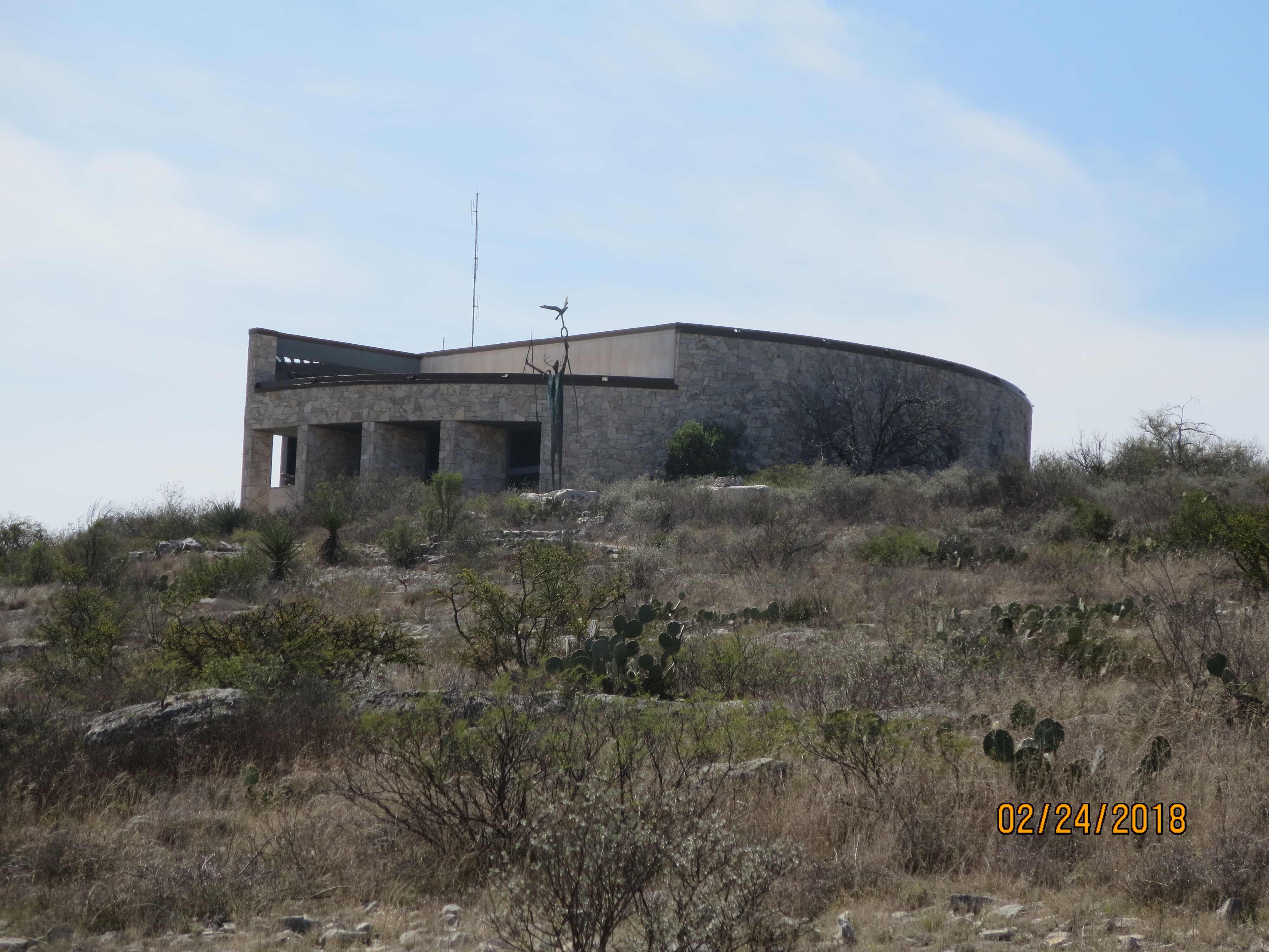
The Visitor Center
The Fate Bell Shelter, a cave below the Visitor Center is  named after the man that owned the property. There is another noteworthy cave called the Panther Cave in Seminole Canyon. It is called that  because of its drawings. Visitors can only get there by boat, and with a guide. We didn’t get there to see it, but I heard it is spectacular.
The ranger talking about the art in the cave. They don’t allow people out her on their own to protect the art from being vandalized. 
A view from the cave
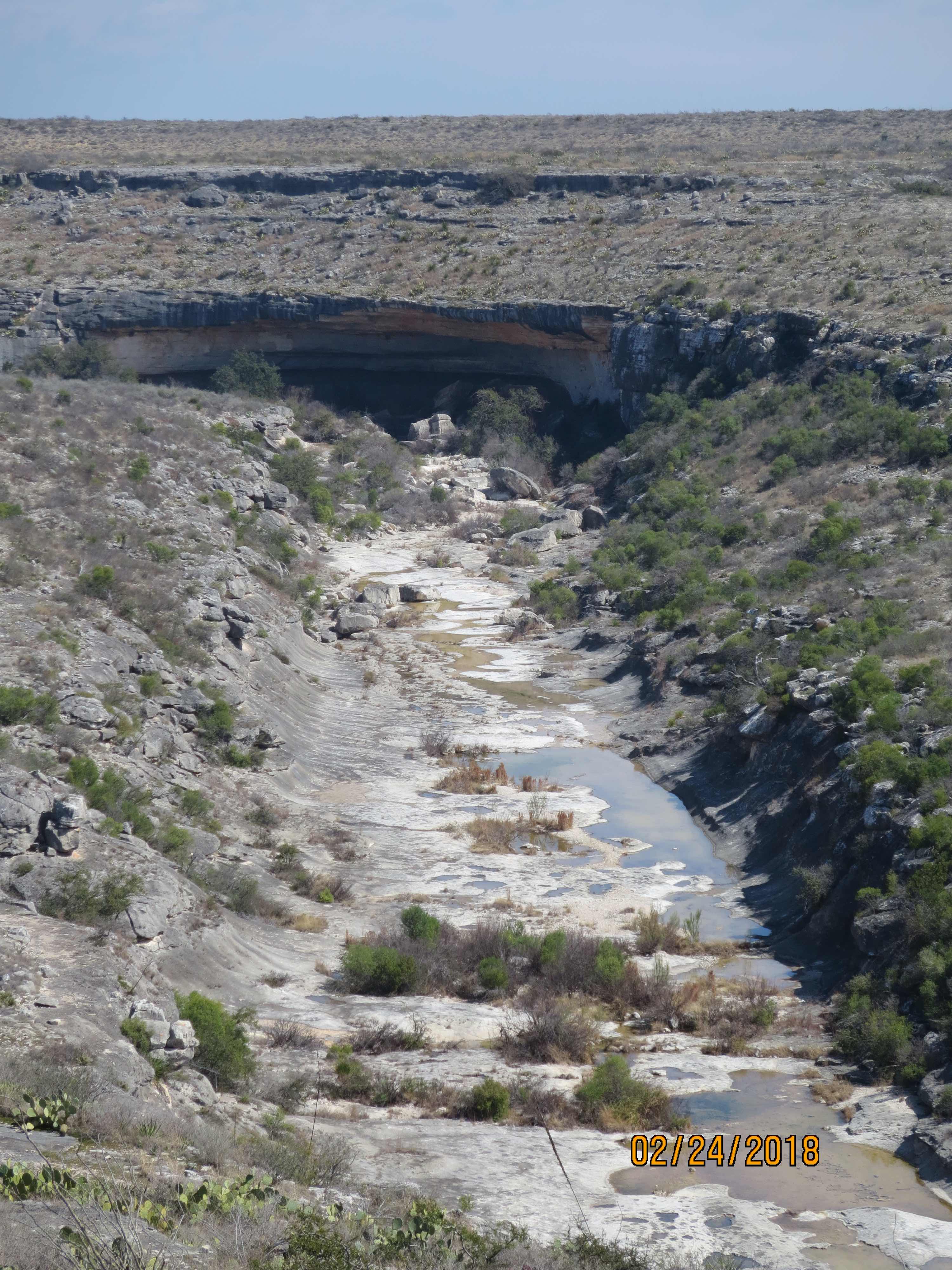
The caves can be formed by wind or water carving their path over time.
One of the important characteristics of this art is the use of colors in their drawings
Looks like a deep fryer
Looks like a bug
These are bones of prehistoric fish left in the rock
One of the things I always love are the cacti. They look so different to us, beautiful but untouchable.
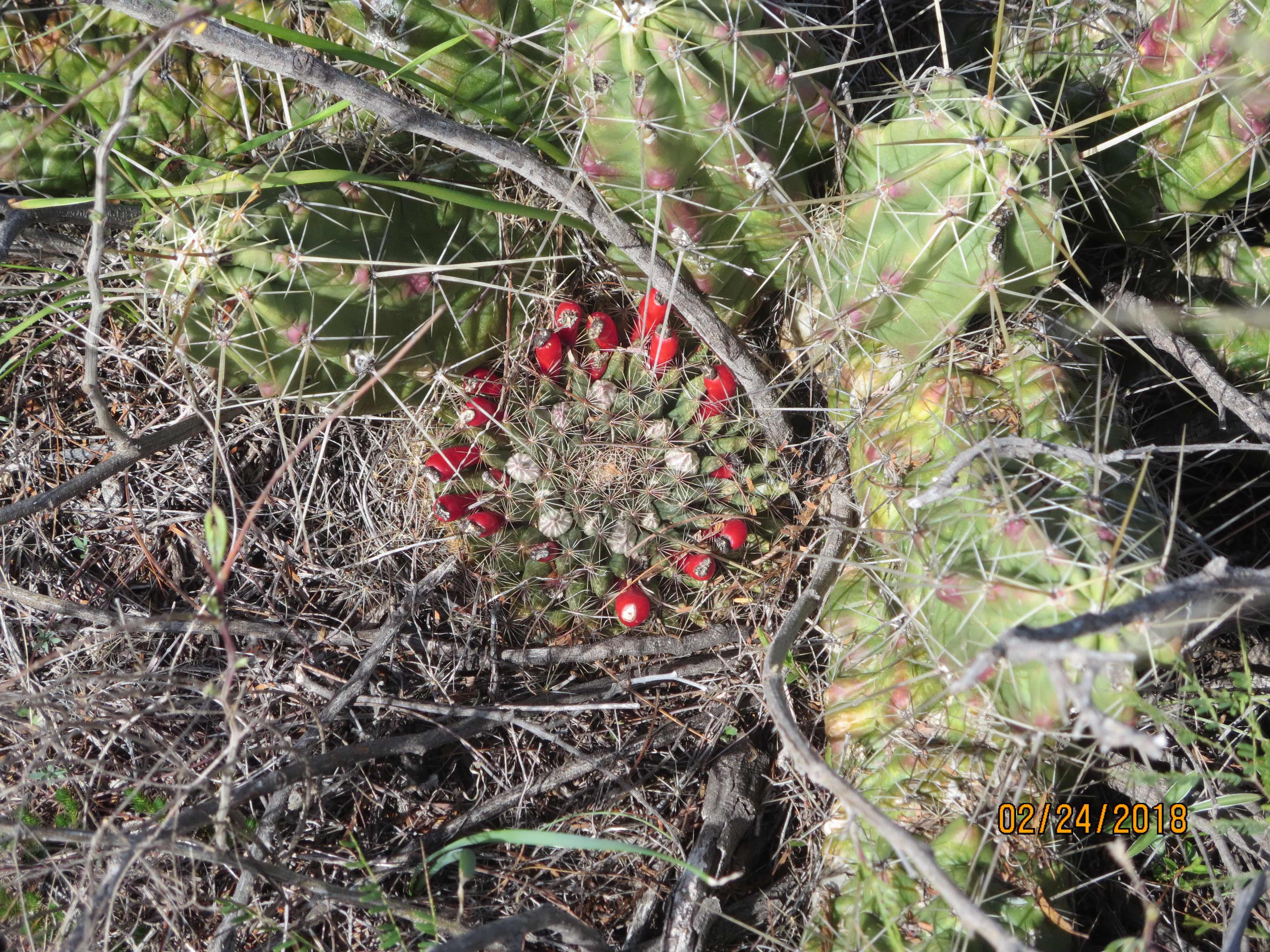
Color in the desert
Growing a bloom
Spike Moss

Like little worms.


.
More Spike moss. Beautiful around the rocks.

This was an oven used by the Southern Pacific railroad workers passing through Texas on their way out west. The railroad made shipping of livestock to market easier for ranchers than herding. They raised sheep, cattle and goats. Also the railroad allowed ranchers to get the needed supplies to fence in their ranches with barbed wire and windmills for water. Technology was coming even then.

Fire heated the rocks the food was placed on the rocks and under rocks to cook. Sometimes it took days. Kind of like a Dutch oven.

Roots, grains and berries were crushed in these depressions made in the rocks.

These are more cooking spots in the caves

The Maker of the Peace. Once a day the sun lines up with the circle in his staff and casts a beam on the ground. This circle represents eternity, infinity, and the circle of life in the universe. He has the head of a deer, a fisherman’s line,and a spear in his hands. That is also a snake around his shoulders. The bird is the wise look out and the human soul.
It is a seventeen foot high bronze statue created by Bill Worrell. The deerskin cape symbolizes spiritual leadership while the antlers represent wisdom, regeneration, and maturity. The limestone base represents the rock shelters in which the people dwelled.

Why does a golfer wear two pairs of pants?
In case he gets a hole in one. 
Yuck, yuck.

Hope all is well and we are really enjoying the warmer weather. We do miss you. 
God Bless America.


Wednesday, March 14, 2018

Heading West, Still chasing that Orb in the Sky

This is our home for the next few days. We stayed here last year on the way to Big Bend National Park. We caught up on laundry and did some grocery shopping at the local HEB supermarket chain in these parts. The campground owner is a cattleman and has his own herd but his true love is the campground. They are really fun and on Thursdays he cooks for the folks staying at the park. For dinner he served Filet, with his special baked bean recipe and corn bread muffins. He made this delicious blueberry cobbler with vanilla ice cream. You can bring your own beverage if you like, but he serves coffee and tea. After, he and the cook and a few others who   work at the park entertained with violin, guitar, drums and  keyboard for a good hour and a half. They sing old style country music, some I’ve never heard, some rock and they even take requests. The keyboard player was amazing as he sang the song “Hallelujah”. It gave me chills. Honestly they are so talented. Some folks get up and cut a rug. A good time is had by all.

The Broke Mill.
This is such a great place to stop because we can day trip it to places around here. This area is so pretty.
Getting a little less flat

The road just cuts through the rock

A little bit of sand here, but look at that wonderful sky


The Pecos River just before the ........wait for it!
The Amistad National Recreation Area

It is managed by the National Park Service. The reservoir is made at the confluence of the Rio Grande, the Pecos River and the Devils River. The dam was built with cooperation between Mexico and the United States to protect the cities below the rivers from flooding. Farming below the paths of these three rivers improved with control of the water. There is a border crossing here between Del Rio, Texas and Ciudad Acura, Mexico.

There are two bridges across the reservoir, one for cars and a bridge for train traffic.

It was a beautiful Day. 


Tuesday, March 13, 2018

Border Patrol

Up until now the only Border Patrol Check Point stops have been alike. There are cameras positioned along the side the road. The approach looks pretty much like when we cross into Canada. Usually the Officers are on both sides of the vehicle, one asks if we are U.S. Citizens, how many people in car and really that is about it. The Officer on the passenger side generally has a dog, usually a shepherd that smells the car and then around and underneath the trailer.

Waiting in line
One vehicle at a time

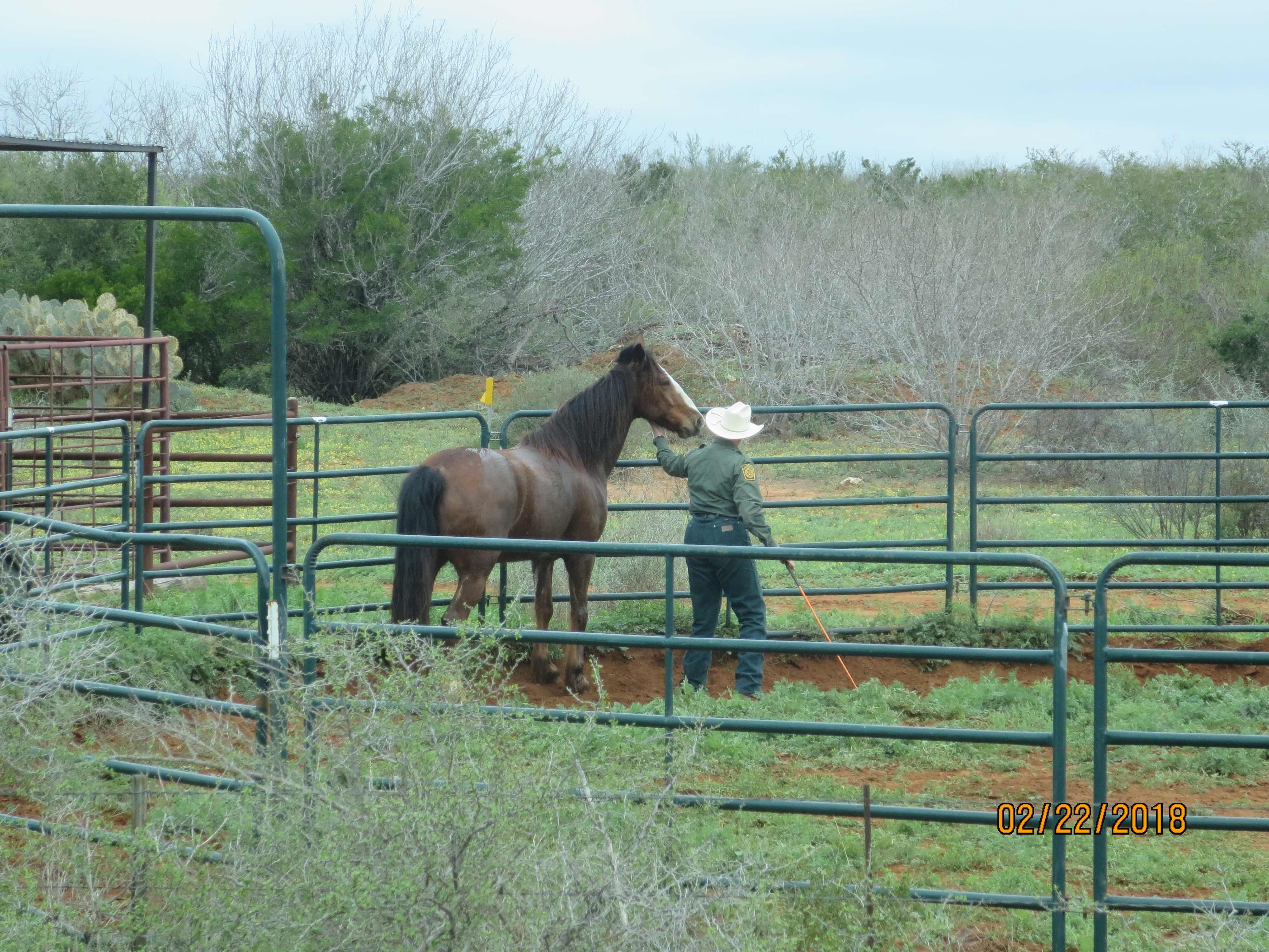
This checkpoint was using horses to ride along the border. We haven’t seen that before.

They looked very cared for. Protected from the sun and heat

This one is being trained. Appeared to be a tad fiesty at times.

Warning about the dogs sniffing the vehicles

Another shot of the horses.
Interesting!

This is another observation tool we saw along the way,  they are placed to protect our border!
None of the tools that we observed looked threatening and the numbers we saw were few and far between.
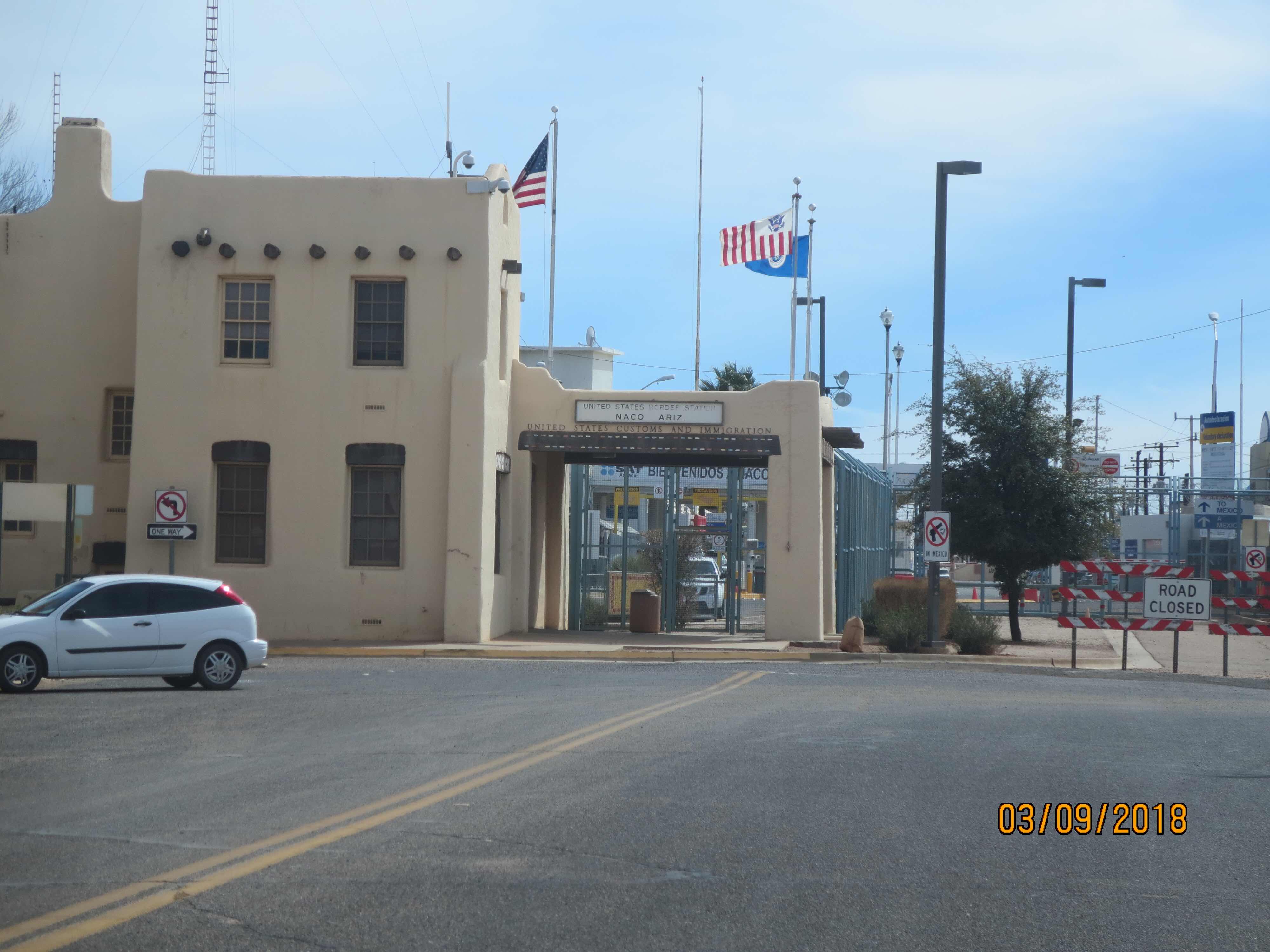
Pretty much in Texas the Rio Grande River was the division between the U.S. and Mexico. But in New Mexico and Arizona that isn’t the case. New Mexico had a lot of vacant land between the countries and we saw border patrol on mostly trucks with the occasional blimp. As we got to Naco, Arizona along the border we can see the wall that everyone is talking about.
The Port of entry at Naco, Arizona. People just walk across.
Our first view

Up and over the hills in both directions. You can’t tell from this picture, but it’s  not solid. It’s mesh like and no barbed wire or anything like that. There are lots of lights though.
A better look.
Well guess that is all for now. We are moving on tomorrow. Some of these pictures are a bit out of order but I clumped them together here. 
It’s not easy being on a diet and a trip to the grocery store can sometimes be torture. So it was with delight that on my way back to the car, I saw a woman who had come to terms with her body wearing a T-shirt that read “Fat People are Harder to Kidnap”

Hope all is well at home! Miss you all
God Bless America.


Thursday, March 8, 2018

Laredo, Texas, Quite a Surprise

Laredo is a city on the Mexican border in southern Texas. The Republic of the Rio Grande had a short lived history as an independent nation. Next to the Los Dos Laredo’s Park is a bridge that crosses into Mexico. Actually there are two bridges, One is for pedestrians to walk across the border and the other is for vehicle traffic. There is a huge outlet mall right on the Rio Grande River at the foot of the bridges and many Mexicans cross daily to shop here. 
The old town is right there as well. There is a lot of history and displays of local culture to see. 
This is part of the town where the municipal offices were and some still are. The fountain was beautiful. The brick sidewalk and stonework around the fountain are a testimony to the craftsmanship many years ago. 
The central town square is surrounded with the brickwork as well and had many statues honoring the men that played a part in the history.
A General in St Agustin Plaza
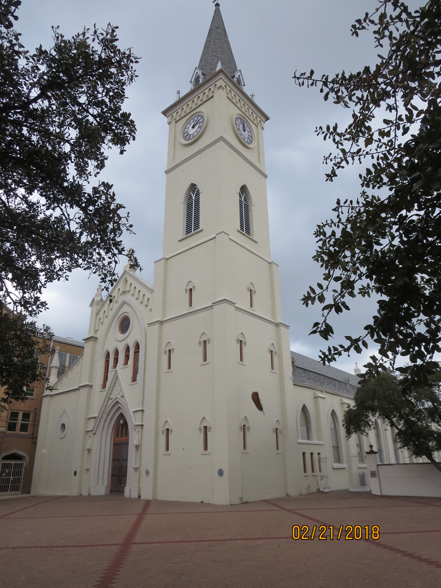
San Agustin Cathedral. The present church dates 1872 and is the seat of the Catholic Diocese of Laredo, Texas.
This is The historic La Posada Hotel. The little building next to the hotel is The Republic of the Rio Grande Museum. It is one of Laredo’s oldest structures on San Agustin Plaza in downtown Laredo.  It was constructed in 1830. It was once the home of a rancher Bartolomeo Garcia who was also the mayor. According to tradition in 1840 the structure served as the capitol of the Republic of the Rio Grande. It generally fly’s the seven flags of the countries that ruled over this area.  The triangle formed by the cathedral, the museum and the hotel formed the most visited historic landmarks in the city.
Spain, France, Mexico, the United States, the Confederate States, the independent Republic of Texas, and the Republic of the Rio Grande are the seven flags that claimed Laredo.


There were plenty of beautiful old buildings in the area.
Check out the bird, a chicken, on the porch!

City Hall
Other areas are works in progress
The Plaza Theatre is a gem in the rough.

Turning fifteen is a very important event for young Mexican girls. The dresses were unbelievable. The shop amazing.

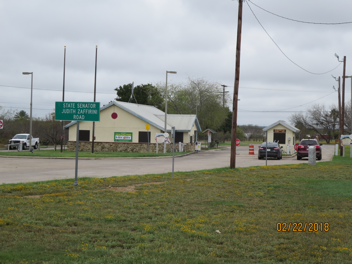
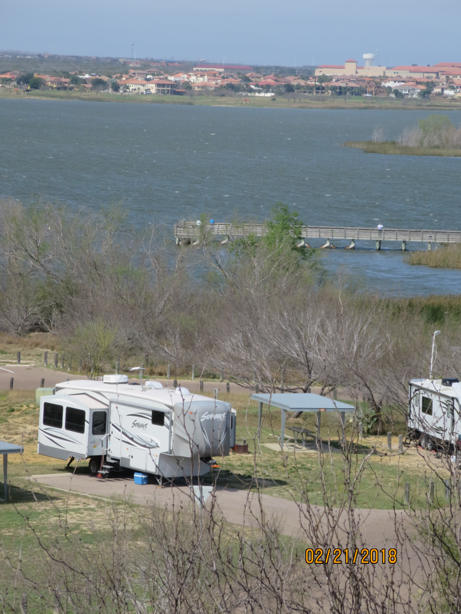
This was the park we stayed at here.
Green Grass, Hoot Hoot!

Our spot from the hill above. The lake in the background is formed by an impoundment of Chacon Creek, a tributary of the Rio Grande. Boating, fishing and birding are popular activities in the park.

This very old building was on the property, but the signage didn’t really identify what it was.
Another view from high in the park across the lake.

As we left!
Laredo was beautiful and developing. It was bigger than we imagined and really growing economically. It was more modern as well. The Department of Homeland Security offices are located here. U.S. Citizenship and Immigration Services are in the city as well.

God Bless America

The bandleader Lawerence Welks vaniety plate in California  said,
A1ANA2.....
On to Del Rio, Texas